• Mondo
  • Domenica 13 marzo 2011

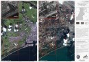
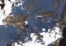
Il Giappone dall’alto

Alcune eloquenti foto satellitari, prima e dopo lo tsunami

SENDAI, JAPAN - MARCH 12: This satellite photograph provided by the Center for Satellite Based Crisis Information (ZKI) of the German Aeropsace Center (DLR) shows flooded Sendai Airport after the devastating earthquake and tsunami on March 12, 2011 at Sendai, Japan. At least 1,800 people are confirmed dead across northeastern Japan and at least two nuclear reactors at the Fukushima facility are facing meltdown. (Photo by German Aeorpace Center DLR/ZKI via Getty Images)

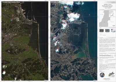
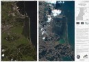
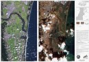
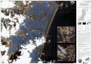
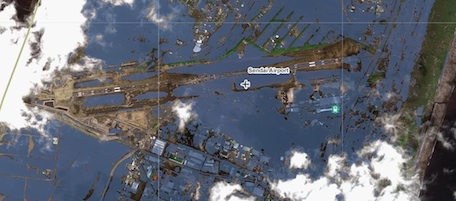
Oltre alle foto che raccontano la portata delle devastazioni provocate dal terremoto e dallo tsunami in Giappone, iniziano a circolare poi alcune foto satellitari, che danno l’idea dell’estensione della penetrazione dell’acqua e dei danni che ha provocato. Le foto sono state fornite a Getty Images dall’Agenzia aerospaziale tedesca. Poi ci sono quelle interattive di ABC News, che stanno facendo il giro del mondo.